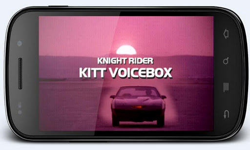
Knight Rider's KITT voicebox and speedo- talk with KITT! 2000 online samples !

KITT Voice Box & Speedometer play.google.com.vinwap.kitt
Knight Rider's KITT voicebox and speedo- talk with KITT! 2000 online samples!
The one and only Knight Rider's voice box and Speedometer for Android is finally here. This app imitates the Knight Rider series talking car voice box and Speedometer from series season 1.
Features:
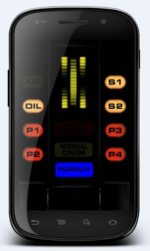
- Talk with KITT, give voice commands, ask questions (in Auto Cruise mode)
- Play over 2000 Knight Rider samples in Online Mode
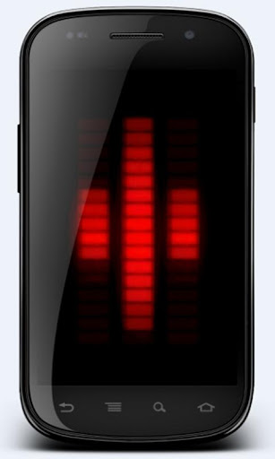
- Display real-time voice graph of any audio like music or you speaking (in Normal and Pursuit Mode).
- Use the eye catching startup sequence in your car to impress your friends
- Most realistic voice graph using simulated separate led lights, simulating even voltage drop
- Play with well known features like scanner, turbo boost and pursuit mode! Press any button to hear KITT speaking.
- Now featuring KITT's biggest enemy KARR (in Pursuit Mode)
- Double tap voicebox screen to view it fullscreen. Then tap the screen to play random sample
- Hold any button to save sound samples as ringtones or notifications
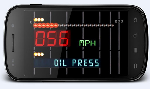
- Turn your device into landscape mode to show GPS speedometer. Tap the speed unit to change between mph/kmh.
- Double tapp speedo view to enter HUD mode.
What's in this version: (Updated : Jan 26, 2013)
- new DEMO mode! - now when in fullscreen voice box (double tap voice graph) and online mode enabled touch he screen to enable automatic samples playing one after another
- new voice command "Present yourself in german" and "Present yourself in spanish"
- (Spanish and german will be soon moved to own language category - now they're available in English language option)
- added one time new released game preview on intro screen, it will show only once
Required Android O/S : 1.6+
Screenshots :
Download : 4.5Mb APK

Download : 4.5Mb APK